Day 56 – 1000 Miles!
Originally published on Mason Hikes the PCT 2017.
Mileage: 29. I’m 6 miles from Sonora Pass and Kennedy Meadows North!
🎶 I would walk 500 miles, and I would walk 500 more, to be the man who walked 1000 miles to eat the whole darn store. (I deserve it) 🎶
– The Proclaimers
🎶 And you know, I’d walk 1000 miles, if I could eat… real foooooood… tonight! 🎶
– Michelle Branch? (Vanessa Carlton?)
Today was fantastic. I think it was a combo of waking up early, feeding myself well (lots of food!), and consistently finding the trail relatively easily that made the difference between today and yesterday. Or it could be the gummi bears I’ve been eating all day. Not sure. 🤔
Today started with something I learned in college, which is called a caffeine nap. Usually, you would drink a lot of caffeine and then immediately nap until the caffeine woke you up and you felt ready to take on the day (or night). In this case, I set an early alarm to wake up and drink some Five Hour Energy, then snoozed until I woke up from the caffeine. Woah! I woke up feeling like I could scale some mountains!
The first feat of the day after packing up camp was crossing a really wide and deep river. Cold feet and legs at 6AM? I guess so. 😓 Some guy was in a rush and didn’t want to explore with me, so he swam across up to his chest, but I took my time and found a knee-deep crossing that wouldn’t get the rest of me very wet. Success!
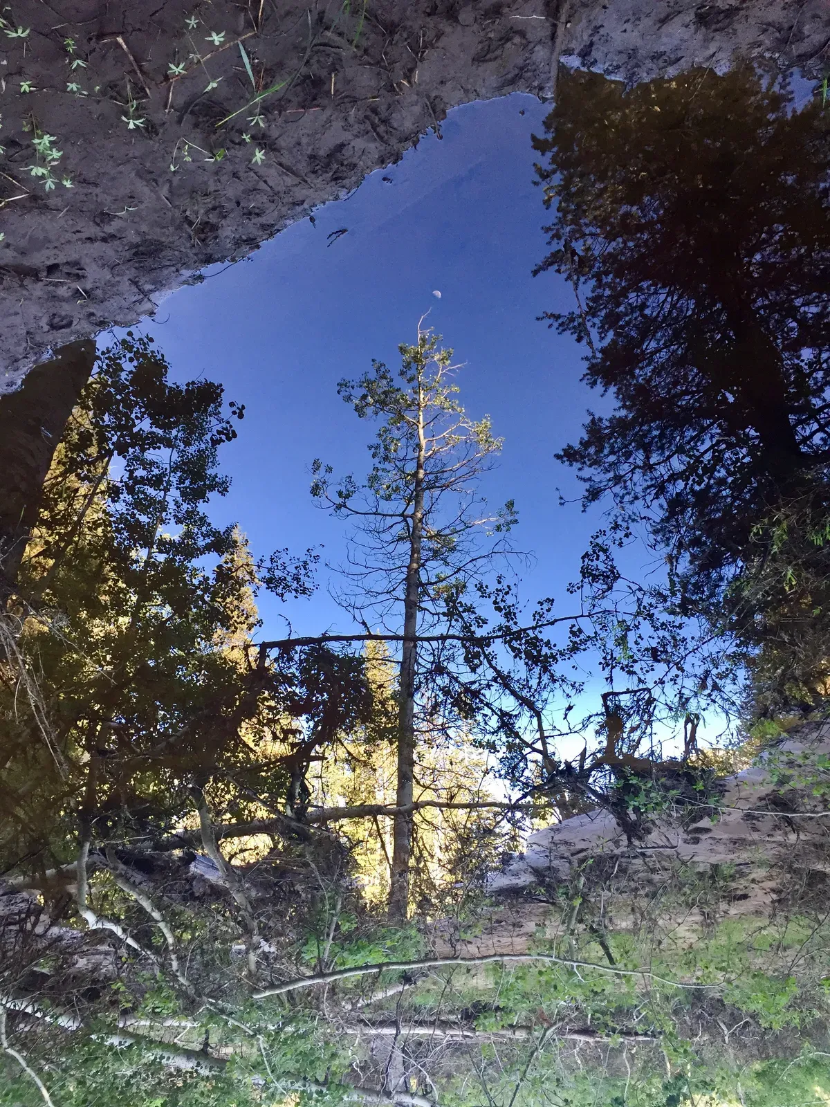
The trail then immediately climbed up about 1000 feet to a pretty awesome lake, though the trail goes through more snow at the top. I ran into the same guy again while he was trying to find the trail, and eventually passed him as he went the wrong way because I kept guessing correctly and he did not. It really is a game of chance when you’re looking for the trail.
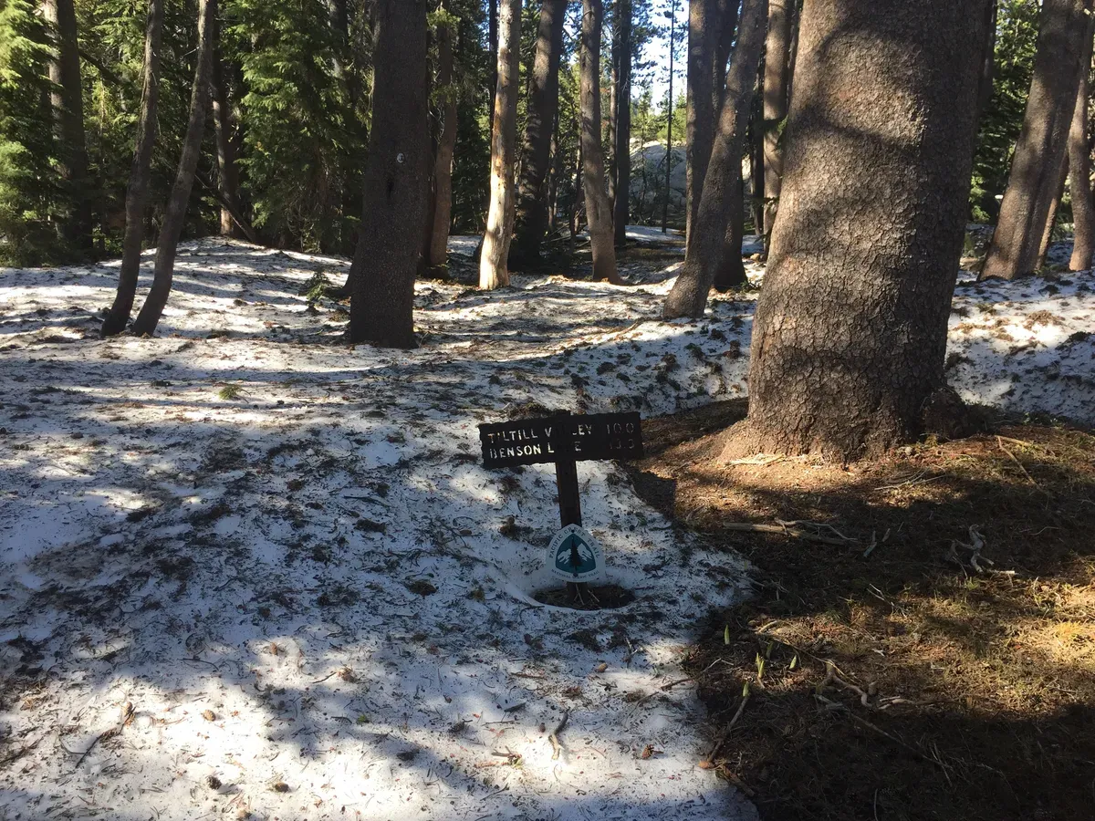
As I got towards another river crossing, I met a group of hikers, one of which I actually knew from YouTube! Her trail name is Dixie and I had watched her videos before I started to see what I was getting into, so it was a little bit like meeting a celebrity that only I knew! So cool!
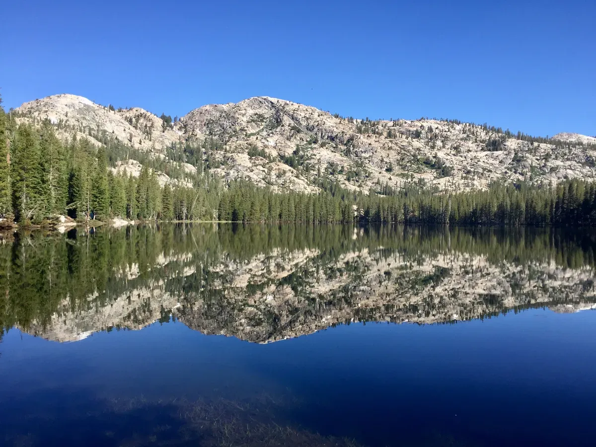
At the crossing, there was a group of people on the other side that told us that the shallowest you could find was shoulder-deep and they pointed out the path, but I decided not to believe them and started looking up and down the river for a better alternative. Less than a quarter mile upstream, there were some knee-deep rapids that required a bit more strength, but also didn’t soak everything I own. Success! It turns out that those people hadn’t even crossed yet, but had watched a guide do it and figured he was in the shallowest spot, though they could also see the rapids from where they were sitting…
My feet had been wet since 6AM, and the climb up Dorothy Lake Pass was not going to make that better. If you can possibly take sopping wet shoes and socks and make them worse, that’s what the trail up to the pass did. Of the 10 miles of uphill leading to the pass, I would guess that less than 20% of the trail is dry. It was river after river after river after trail/river, each one a torrent of cold water which was both refreshing and depressing. On the one hand, it’s hot out and the water is cool on my feet. On the other hand, I’m going to get trench foot and die because my feet will never be dry again. Oh well, at least I got to jump through all the puddles now!
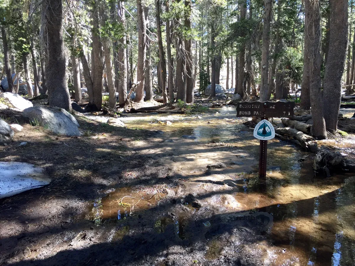
At the top, I was a sweaty, soggy mess, so I did laundry and took a bath at the same time by jumping into the snow-covered lake with my shoes and clothes on. After hanging up my clothes to dry, I hung out with a hiker named Baby Carrot, who tried to swim out to the snow in the lake and had to abort because his body was going into shock. Brrrr.
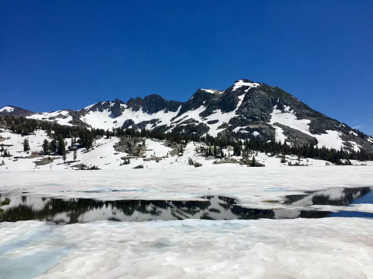
Though sunbathing and eating at a mosquito-free alpine lake was a pretty fantastic time, I eventually had to move on so that I could try my hand at the next mountain climb. I headed down, forging my own (incorrect) path that was supposed to avoid two creek crossings, but my GPS/PCT app was wrong and I ended up crossing the creeks anyway. Oh well, I’m an expert now! Somewhere along the way down to yet another river, I passed the 1000 mile mark!!! 🎉 Hooray! I’m a real hiker now!
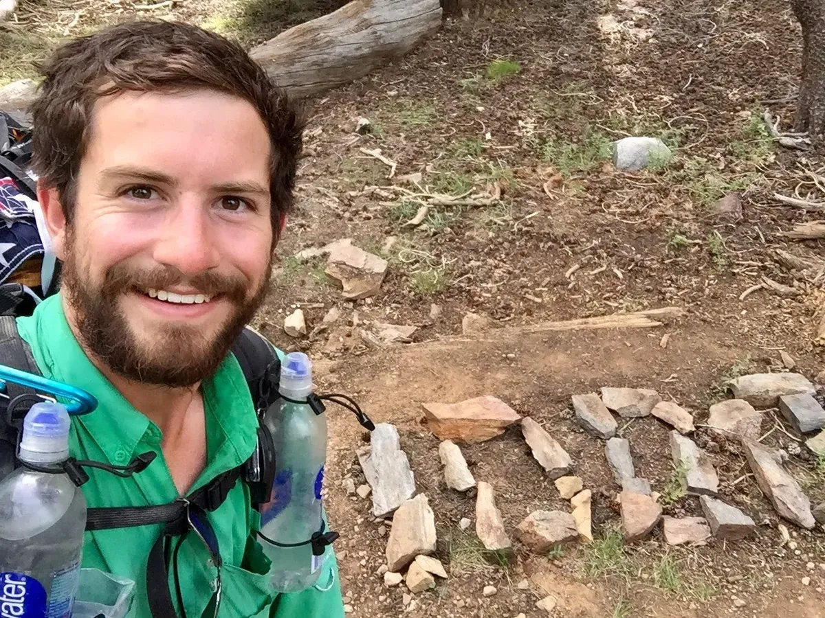
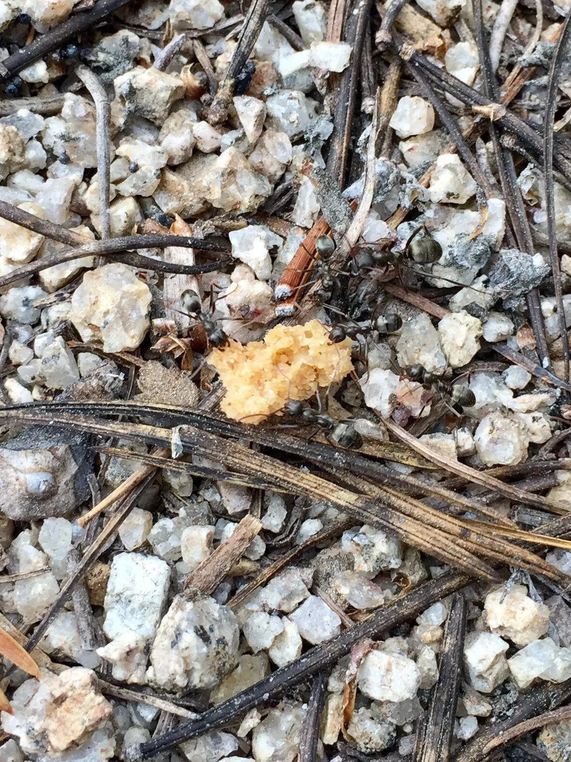
I walked for a long time in order to get to the day’s final climb, and when I was getting close, I fueled up on tortillas, cookies, and Starburst. I was ready to go, and so were the ants that I accidentally fed some of the cookie to.
The climb started out reasonably graded, but I knew that I would be gaining 2000 feet of elevation at some point, so I was expecting the worst. Finding the trail was made difficult by the snow and massive avalanche debris, but I eventually saw where I was headed on an adjacent mountain.
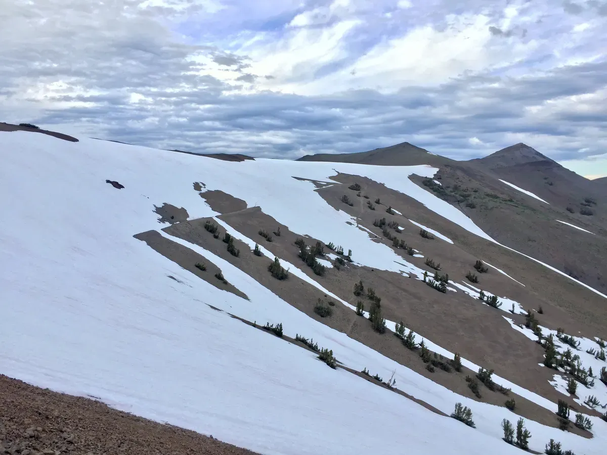
Hmmm… there doesn’t seem to be a trail leading up to that point. Hmmm… there’s a snow field here that seems easily climbable. Hmmm… I think I’m going to go for it. I started climbing what would likely be a blue square at any respectable ski resort, which was actually great fun because I was taking the shortest route up and the worst case scenario was that I fall and slide down hundreds of feet and have to try again. Not bad!
I climbed up the snow for a few hundred feet, at which point the snow transitioned to loose rocks and skree. Yuck. That part was a little worse, but still manageable, and my GPS said I would intersect with the trail any second! And there it was, I found it! And I also discovered that it wasn’t connected to anything. I had climbed up to a trail island, completely snowed in with no tracks out. Ruh roh!
At this point, I had three options:
-
Climb down and climb back up over where I saw the top of the trail.
-
Traverse hundreds of yards of steep snowfield, trying to get to where I saw the trail.
-
Climb straight up hundreds of feet to the ridgeline and walk over the tops of the mountains to the trail.
Obviously, I chose Option #3. It sounded fun, it was going to be a cool experience, and honestly, it was likely my safest bet. I pulled out my ice axe just in case, and started my slow ascent up to the tops of the mountains. After twenty agonizing minutes of supreme focus and balance to make sure I didn’t slip down the side of the mountain, I had made it to the top. And boy, what a view!
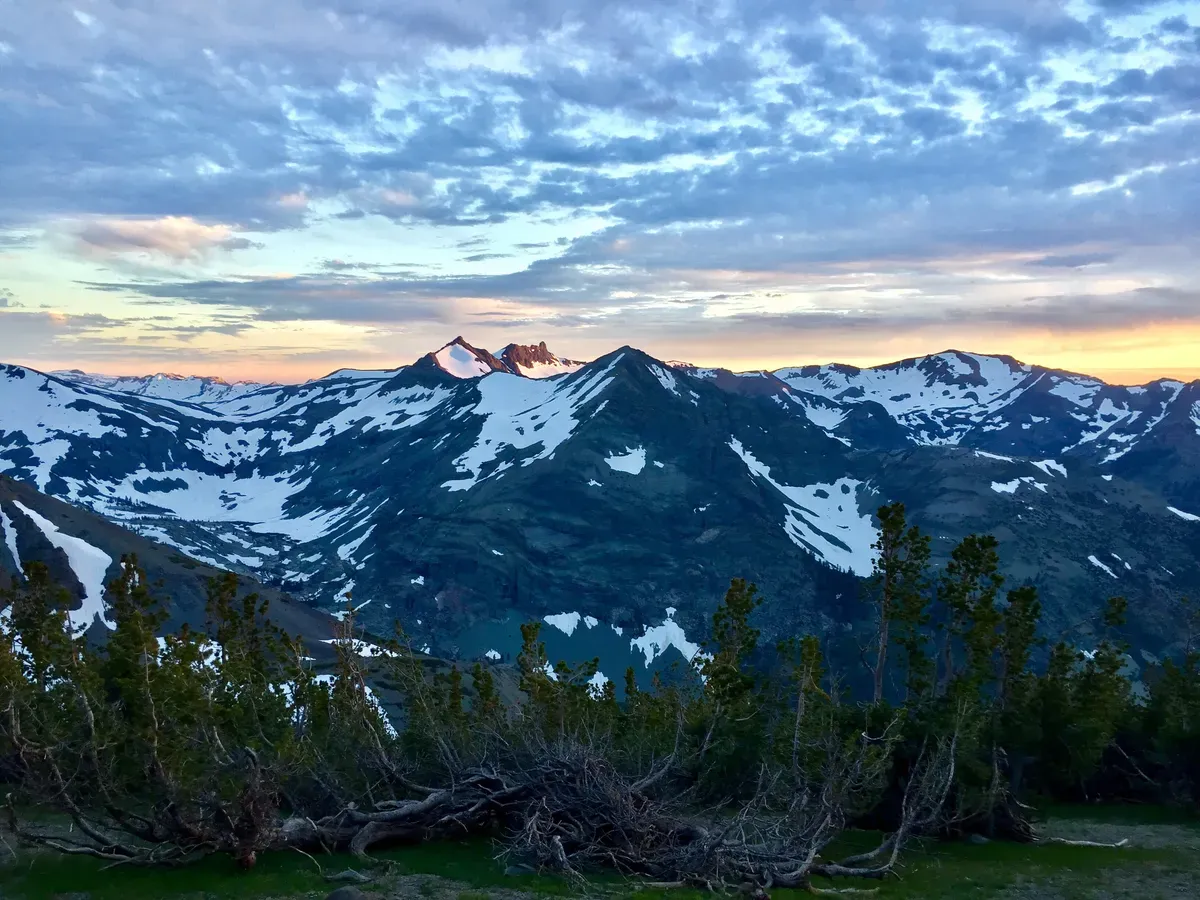
I don’t have a real camera with me so I just use my phone, but you’ll just have to trust me when I say that the views and the colors that I saw on that ridgeline were some of the most spectacular I’ve ever seen. It had been overcast all day, which is normally a bummer, but with certain clear spots and the sun to shine through them, the clouds were alive with color. Every time I stopped to look around, something amazing caught my eye and I had to take another picture, which is how I ended up with dozens of photos of the same mountains. 😬 I just really enjoyed the scenery, okay?
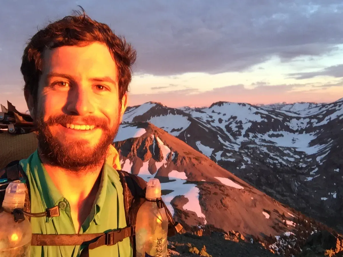
Since I was already walking the ridgeline, the rest of the hike was easy and I got to relax and watch the sunset from my campsite at 10,500 feet.
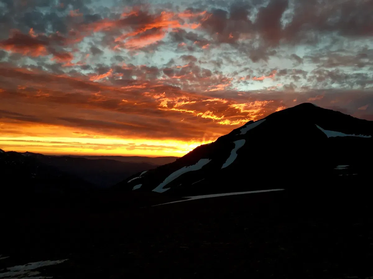
While I was making food, I was surprised by a nosy little (actually pretty big) fox. That little scoundrel wanted my food! I shooed him away and went about my camp chores before calling it a night. Sonora Pass, here I come! No more bear canister! 🎉